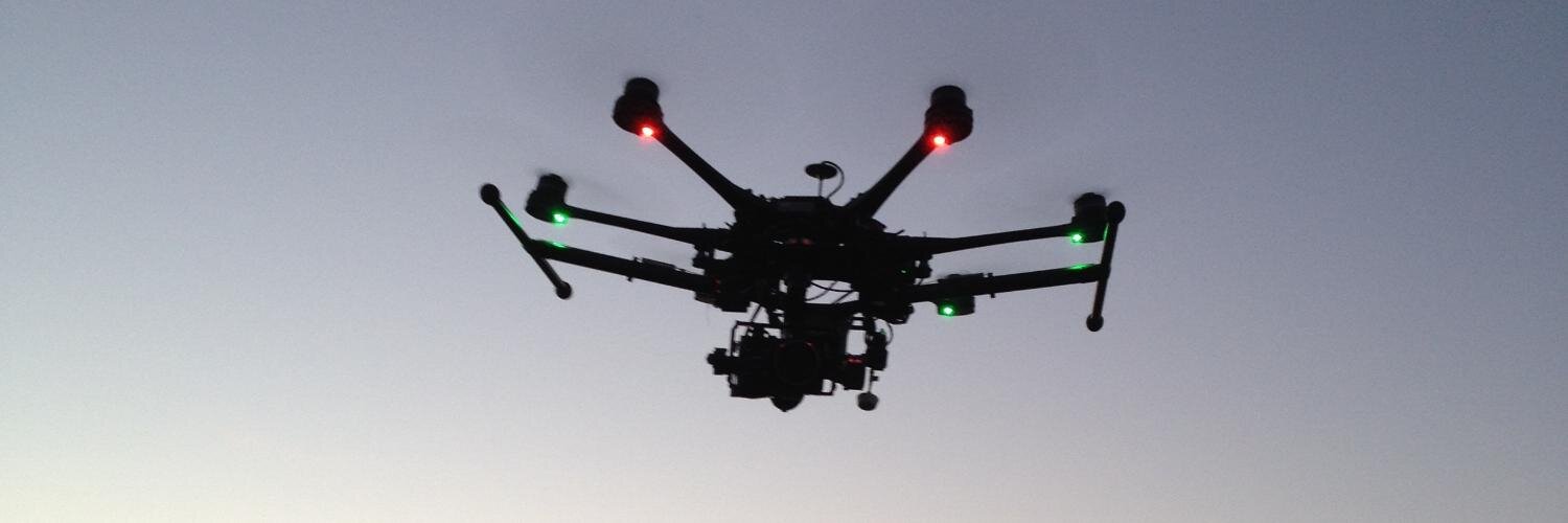

Unmanned Aerial Solutions. Aerial Photography. Ortho-referenced photogrammetry. Digital ground modelling.
Ireland
Joined August 2013
- Tweets208
- Following754
- Followers2.7K
- Likes55



Justin's Law - Defibrillators in all health and sports facilities in the UK. - Sign the Petition! chng.it/VJvMtyVVPF via @UKChange

21


Aquila UAS retweeted

...and here's the original dataset by @AquilaUAS :: buff.ly/2BRrRNo
There are over *200* seals in that image. See if you can find them all! 🤣 nitter.gq/BenMawhinney/status/96…

This screenshot - from a dataset on @DroneIndustries - definitely gets my seal of approval. #dronesforgood #dronephotography #wildlifephotography

facebook.com/photo.php?fbid=…
Enjoy the tranquility of The Silent Valley 360 style. Mourne Mountains Healthy Heathland Project. @Mournelive
A little departure from Mapping the Mournes to capture the stunning surrounds at The Silent Valley @Mournelive @EnjoyTheMournes @niwnews

Aquila UAS retweeted

Please spare a few minutes if you can for a look at our annual report caringformourne.com Info & pics of our work in Caring for #Mourne


3D Modelled. Slieve Binnian (747m) with Wee Binnian (459m) in the foreground. Mapping the Mournes @Mournelive

Third highest mountain in the Mournes 747m is Slieve Binnian. Named from the Irish Sliabh Binneáin after the rocky tors across it's summit

Aquila UAS retweeted
@Mournelive For those who have ventured up Slieve Bearnagh, here is a birds eye view of the #Mourne Wall. Mapping the Mourne Mountains.

Another takeoff, heading for Slieve Bearnagh Mapping the #Mourne Mountains @Mournelive


Aquila UAS retweeted
This 26km map was used as a risk assessment for flooding & identifying ground assets. Explore @AquilaUAS's map :: buff.ly/2k8BFth


Aquila UAS retweeted
Watch our video highlighting our members' 2015-16 achievements: bit.ly/ICE15-16 #civilengineering
