
https://xitter.cf/t.co/kXGASYtY6c
Stanford, CA
Joined July 2011
- Tweets950
- Following386
- Followers559
- Likes537

Steamy road trip through Nevada in 1960 or bust, baby 💋
[Image of 1960 Nevada road map with red lipstick kiss mark left by a cheeky someone.]

Feeling lost? Here are some north arrows to help you find your way again.
↖️
[Seven images of north arrows on zoning maps of Mountain View and Palo Alto, CA published in the 1950-1980s.]


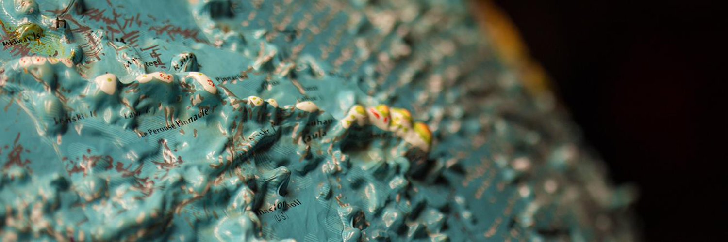
One does not simply listen to the talk given by blind cartographer, @BerkeleyBlink, @rumseymapcenter without then checking in on our own tactile map resources. This Braille tactile world atlas is the first arrival of a few new additions to our map collections! Click the link


At this point, do you really need any other reason to register for Geo4LibCamp 2021? But if you do: instead of registration costs, the proceeds of any merch purchases will go to 3 charities:

I visited @AGSLib for the first time last year and then knew what needed to be done @BrannerLibrary 🌎

We’d consider it more than just a passing grid if you’re able to identify which city this is! For today’s #30daymapchallenge, we are delighted to share this map created by cartographer Laura Whitlock in 1910-1912. You can read more about Laura by clicking the link in our bio!


But then again, it really is hard to beat the monochromagic of bathymetric maps. For today’s #30daymapchallenge, we’re sharing this map of Jaggar Seamount, an undersea feature a part of the Geologists Seamounts located south of Honolulu, Hawai’i. Click the link in our bio for a


You had me at yellow. I present to you my favorite map in the Branner map collections for the #30daymapchallenge. City plans are irresistible enough but then to bring in this color palette, typography, compass rose, and the thin blue lines for water....I mean, com’on. Click the

