

Measuring natural resources from space
Edinburgh, Scotland
Joined May 2015
- Tweets932
- Following386
- Followers365
- Likes164










GSI retweeted

If you didn't catch the latest in @heraldscotland's space series in print, you can read it online!
heraldscotland.com/news/1940…
Find out how our friends at @GSiEarth are using Earth observation to analyse land data, and about @ResponsiveAcs' recent graduation from @ESABICUK 🚀✨
GSI retweeted

A great example of how space technology is important across many sectors.

#FunFactFriday!
The Sugar Maple tree can live around 300-400 yrs. To harvest syrup from the Sugar Maple, the tree needs to reach a minimum of 10" Diameter at Breast Height
GSI can identify individual tree species & the average Diameter at Breast Height!
#ForestIntelligence

GSI retweeted
Super excited at this new #climatepositive collaboration with @OmanosUK providing insights into the rapidly expanding geothermal energy sector in Kenya. #scotlandisnow
GSI retweeted

Join our webinar on June 5th as IEMA's @nblythiema & @PatSnowdon of @scotforestry discuss the Woodland #Carbon Code, #sustainablefinance & other nature based solution opportunities & how we can #BuildBackBetter for a green recovery. bit.ly/2XhDRCp

GSI retweeted

#Forestry Statistics, facts and figures for 2019 - 84% of new woodland in the UK last year was planted in #Scotland - contributing to healthy and thriving environments, supporting the economy and helping to combat #ClimateChange
Read the full report: forestresearch.gov.uk/tools-…

GSI retweeted

One more Data success story - Congrats to @GSI for the major step in geospatial innovation! @ElukkaE @BayesCentre
scotsman.com/business/edinbu…

GSI retweeted

Exciting news! Our Mission 1 alumni @GSiEarth secured a contract in Canada working with #ForestryFuturesTrust to support ongoing sustainable forest management. The work they are doing is vital and we are excited to see the outcomes from this partnership!
surfaceintelligence.com/post…
GSI retweeted

Global Surface Intelligence secures six-figure Canadian project siliconscotland.com/2019/07/…
GSI retweeted

These false-color images show a glacial lake in the Himalayas nearly doubling in length over 30 years. earthobservatory.nasa.gov/im…

GSI retweeted

This still fascinates me!
The Mercator projection distorts size of countries on a map. This animation compares the real area of countries with the distorted view in Mercator projections. Source: (link: buff.ly/2Gx4ydJ)
#geography #geoscience #gischat #GIS #geospatial
GSI retweeted

There may be no better view of Earth than from the International Space Station. In honor of #EarthDay, enjoy these photos taken by @NASA_Astronauts from 250 miles above our home planet. You can search astronaut photography here: eol.jsc.nasa.gov/. #PictureEarth


GSI retweeted
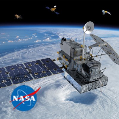
TRMM & GPM radar data can be used to identify areas where intense storms occur in the Tropics and midlatitudes based on the intensity & height of radar echoes. Climatology of peak thunderstorm intensity shows that most intense storms occurs over land: pmm.nasa.gov/articles/findin…

GSI retweeted

Thank you to everyone who came to Edinburgh for the #Forests2020Conf! It has been a fantastic week so far. The main conference is over, but the calendar is still packed with meetings, collaborations and planning for the next steps...

GSI retweeted

To mark the Forest 2020 Conference in Edinburgh this week, my Microwave #RemoteSensing book in eBook format, FREE to download, Thursday & Friday this week. @ecometrica @GeosciencesEd @Carbomap @spacegovuk #Forests2020conf
amazon.com/dp/B00U4D8EJM
GSI retweeted

Our new paper assessing the potential of #drone-based #photogrammetry for oil palm #plantation monitoring is out. From automated inventory generation towards per-palm metrics useful for #biomass estimation, available here: tandfonline.com/doi/full/10.…


GSI retweeted

SAR Tutorial- How to Interpret Images
Interpretation of synthetic aperture radar (SAR) images is not always straightforward, in part because of the non-intuitive, side-looking geometry.
NASA's ASF DAAC has put together some general rules of thumb:
bit.ly/2EGtJZa

GSI retweeted

Another busy month in Scotland's digital technology sector! Here is the February edition of DIGIT's Movers and Shakers column. digit.fyi/movers-shakers-feb… – at Edinburgh, Scotland
