Volcano Disaster Assistance Program
Vancouver, WA
Joined February 2017
- Tweets470
- Following101
- Followers904
- Likes805


VDAP retweeted

Congratulations #VDAP, honored last night at #AGU conference. 2024 International Award recognizes VDAP's decades-long work in mitigating volcano hazards and building resilience in communities around the globe.


VDAP retweeted

📢#IAVCEI 2025
🌋Submit your abstract for the session on studies of lahars, debris avalanches, #PDC, sediment transport and deposition and associated hazards using fieldwork, remote sensing, experiments and modelling
🗓️ Abstract Deadline: 10 Jan 2025: on-line-form.eu/iavcei2025sa…

VDAP retweeted

Incredible views of Fuego erupting

Las explosiones del volcán de Fuego con columnas de ceniza y caída de balísticos 🌋
youtube.com/live/zpqT6JkKI-4…
VDAP retweeted

𝗟𝗢𝗢𝗞: 𝗞𝗮𝗻𝗹𝗮𝗼𝗻 𝗩𝗼𝗹𝗰𝗮𝗻𝗼 𝗰𝗿𝗮𝘁𝗲𝗿
DOST-PHIVOLCS coordinated with PAF and OCD-VII at the CAAP office in Silay City on 12 December 2024 for the aerial survey of Kanlaon Volcano and surrounding areas. A PDRRMC meeting with Governor Eugenio Jose Lacson at the Provincial Capitol followed.


VDAP retweeted
Interferograms are images created by radar satellites that show how the ground has changed shape, or deformed, over time. This week's #VolcanoWatch dives into one of the trickiest parts of interpreting interferograms: the perspective of satellites. usgs.gov/observatories/hvo/n…

VDAP retweeted

Muy agradecido de su gran labor Sra. Embajadora. En particular por el apoyo para fortalecer nuestro trabajo de monitoreo volcánico a través de @VDAP_USGS_OFDA y @USAIDLAC
VDAP retweeted

🎥✨ #BTS Alert! We we're on location with the incredible team from VDAP/Volcano Disaster Assistance Program 🌋
This video will dive deep into the origins of this amazing group and its 40yr journey of collaboration with institutes across the globe.
@USGS #DisasterPreparedness


VDAP retweeted
Congratulations #USGS #USAID Volcano Disaster Assistance Program, recipient of #AGU 2024 International Award for furthering Earth science & using science for the benefit of society in developing nations. Listen, as #VDAP team members describe their work: youtu.be/2o-MGCegxYo
VDAP retweeted

La memoria historica nunca se debe perder sobre todo en un evento de la Erupción del Volcán de Fuego del 3 Junio, se debe tener presente siempre lo que ha ocurrido en años atras, para poder mejorar el sistema, y tener un mejor pronostico para evacuaciones preventivas.


VDAP retweeted

📢COMET InSAR Training Workshop 19-21 November 2024.
Registration of Interest is live at👇: forms.office.com/e/GYXfiTvt0…
#InSAR #Sentinel1 #LiCSAR #Deformation #Earthquakes #Volcanoes

VDAP retweeted
The first helicopter overflight of Kīlauea's new SW rift zone eruption site at 6 AM HST on June 3, 2024 showed lava fountaining from 1 km (0.5 mi)-long fissures and volcanic gases blowing downwind. See the latest eruption update & Alert Level changes at usgs.gov/volcanoes/kilauea/v…
VDAP retweeted

The largest #eruption on record of #Kanlaon/#Canlaon #volcano (#Philippines) on June 3 produced an upper tropospheric SO₂ cloud (~0.05 Tg SO₂), seen here from #geostationary orbit by #SouthKorea's UV #GK2B #GEMS sensor.
@phivolcs_dost @News5PH @nababaha
VDAP retweeted
Another major #eruption of #Ruang. Geostationary UV #GK2B GEMS data nicely capture the spreading #volcanic SO₂ cloud, including the #stratospheric overshoot drifting rapidly westwards. The SO₂ mass (~0.3 Tg) is very preliminary and needs confirmation from other sensors.
This Post is from an account that no longer exists. Learn more
VDAP retweeted

View a series of maps of the Mount Ruang volcanic eruption in Indonesia: bit.ly/3JozUCY
Though clouds obscure our view in some of the optical imagery, these maps compare the area before and after the eruption and estimate pyroclastic debris on the island.

ALT Before and after map of Mount Ruang eruption. The map uses Pleiades and PlanetScope images acquired on 13 April and 26 April.

ALT Preliminary assessment of Mount Ruang in Indonesia, following the volcanic eruption. RCM data from 21 April were used to estimate pyroclastic debris.

ALT Before and after map of the Mount Ruang eruption. PlanetScope imagery from 13 and 20 April were used to estimate the impact.

ALT Preliminary assessment of Mount Ruang volcanic eruption in Indonesia. The map uses WorldView-3 imagery from 19 April to estimate pyroclastic debris and underwater sediment plumes.
VDAP retweeted

¿Te gustaría dar un taller o curso corto antes o después de Cities on Volcanoes 12?
¡Envíanos una propuesta! forms.gle/EWMJi8qnRmvryXbb8
Más información: congress.iavceivolcano.org/f…

VDAP retweeted

A great pleasure to present the preliminary results of our gas measurements for the monitoring the
#Nyiragongo volcano at @EGU_GMPV. Acknowledge @VDAP_USGS_OFDA @USGSVolcanoes (donated the used equipment) & @INGVvulcani @ingv_president (travel) supports. @EuroGeosciences #EGU23


VDAP retweeted

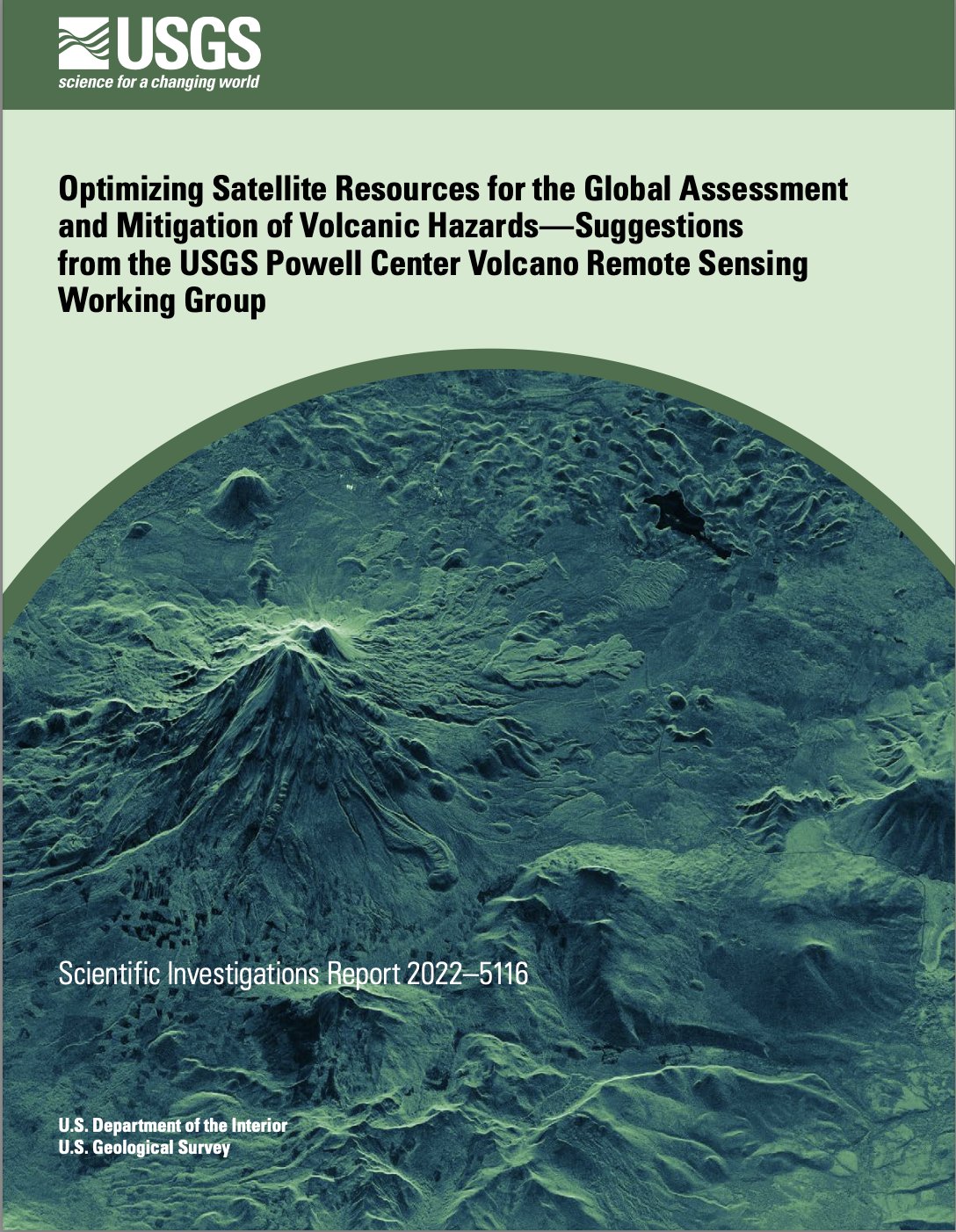
Pub alert! Final report from the @usgsJWP Volcano Remote Sensing Working Group (PowellVolc).
Summarizes state of the art volcano remote sensing, barriers to use, and vision for improvements. Appendix with volcano-by-volcano observation plan.
pubs.er.usgs.gov/publication…