

The WaterLink project is a 30-mile water pipeline extension to bring Lake Michigan water to the communities of Montgomery, Oswego & Yorkville, IL.
- Tweets51
- Following6
- Followers14
- Likes3


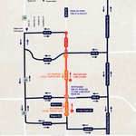


ALT Map showing road closures and detour routes on Book Road for the WaterLink pipeline project. Book Road is closed to northbound traffic, with "Northbound Lane Closed" and "Southbound Local Traffic Only" in effect between 95th Street and Wagner Road. Full road closures (marked with red Xs) are located on Book Road at Rebecca Court and Wagner Road. South of Wagner Road to 103rd Street, Book Road remains open to local two-way traffic. Westbound 95th Street is reduced to one lane near Book Road. Detour routes are highlighted along Illinois Route 59 to the west, Plainfield-Naperville Road to the east, 95th Street to the north, and 103rd/104th Streets to the south. Logos for WaterLink and DuPage Water Commission are shown at the bottom with the website waterlinkpipeline.com.

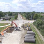
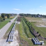
ALT High-angle aerial drone photograph showing a suburban development transitioning into rural farmland. A main two-lane road runs vertically through the center of the frame, with active construction and excavation involving yellow excavators along the left shoulder. On the left side of the road, modern townhouse complexes and residential neighborhoods are visible next to a narrow blue retention pond. On the right, traditional farmhouses, red barns, and open agricultural fields stretch out under a clear, bright sky.

ALT Image: A road detour map. Project: WaterLink Pipeline Construction. Road Closure: Tall Grass Drive is fully closed to through traffic between Brooksedge Avenue and Mistflower Lane. Detour Route: All traffic is rerouted via Brooksedge Avenue, Deering Bay Drive, and Mistflower Lane to bypass the work zone. For more information and project updates, visit waterlinkpipeline.com.

ALT Image: A detour map. Project: WaterLink Pipeline Construction. Location: Boulder Hill, Montgomery, IL. Road Closure: The east ends of Saugatuck Rd. and Barnaby Rd. are closed. Vehicle Detour: Traffic is routed from Saugatuck Rd. south on Wembley Rd. to connect with Barnaby Rd. Pedestrian Detour: The Waubonsee Trail is closed near the construction and a temporary trail route is marked around Jaycee Park. For more information, visit waterlinkpipeline.com.

ALT On a sunny day, a large red excavator works on a road for the WaterLink pipeline project in Naperville. A construction worker in an orange vest holds a "SLOW" sign, with traffic barrels and large pipes lining the street.

ALT The intersection of Book Road and 83rd Street, showing a newly paved road with construction barrels, orange fencing, and detour signs on the shoulder, indicating an active work zone.

ALT A map detailing road closures and detours for the WaterLink project in Naperville. The map shows that Book Road is open between 75th Street and 83rd Street. South of 83rd Street, Book Road has closures and restrictions. Specifically, Book Road is closed between 83rd and 87th street. From south of 87th street to 103rd street, Book Road is open to southbound local traffic only, with the northbound lane closed. Westbound 95th Street is reduced to one lane near Book Road. The detour route for northbound traffic uses 104th Street, Plainfield-Naperville Road, and 75th Street. The map includes a legend explaining the symbols for detour routes, road closures, partial road closures, lane reductions, and traffic flow. The WaterLink project logo and website (waterlinkpipeline.com) are at the bottom.

ALT An aerial view of 95th street and book road in naperville illinois with ongoing road construction. A crane and excavator are visible next to a trench beside a gas station. Surrounding the intersection are commercial buildings, including a gas station, a park with a baseball field, and residential housing stretching into the background.

ALT Aerial view of WaterLink construction along Book Road in Naperville, with excavators, large pipes and an open excavation area in the foreground. Traffic signals and construction barriers mark the intersection ahead, with homes and trees surrounding the roadway.

ALT Aerial view of the WaterLink construction area along Riesling Road in Oswego. Large sections of water main are staged beside the road, with an active construction area and equipment farther along the route.

ALT Aerial view of reopened Roth Road near Wolf’s Crossing Road in Oswego, with vehicles traveling through the area and WaterLink pipeline construction continuing alongside the roadway.

ALT Road construction at the Book Road and 95th Street intersection after crews repaired a large sinkhole. Traffic barrels direct vehicles around the work area and a road closed and detour sign is posted along the roadway.

ALT A large sinkhole in the pavement of Book Road and 95th Street intersection. Orange traffic barrels, cones, and barricades are lined in the background
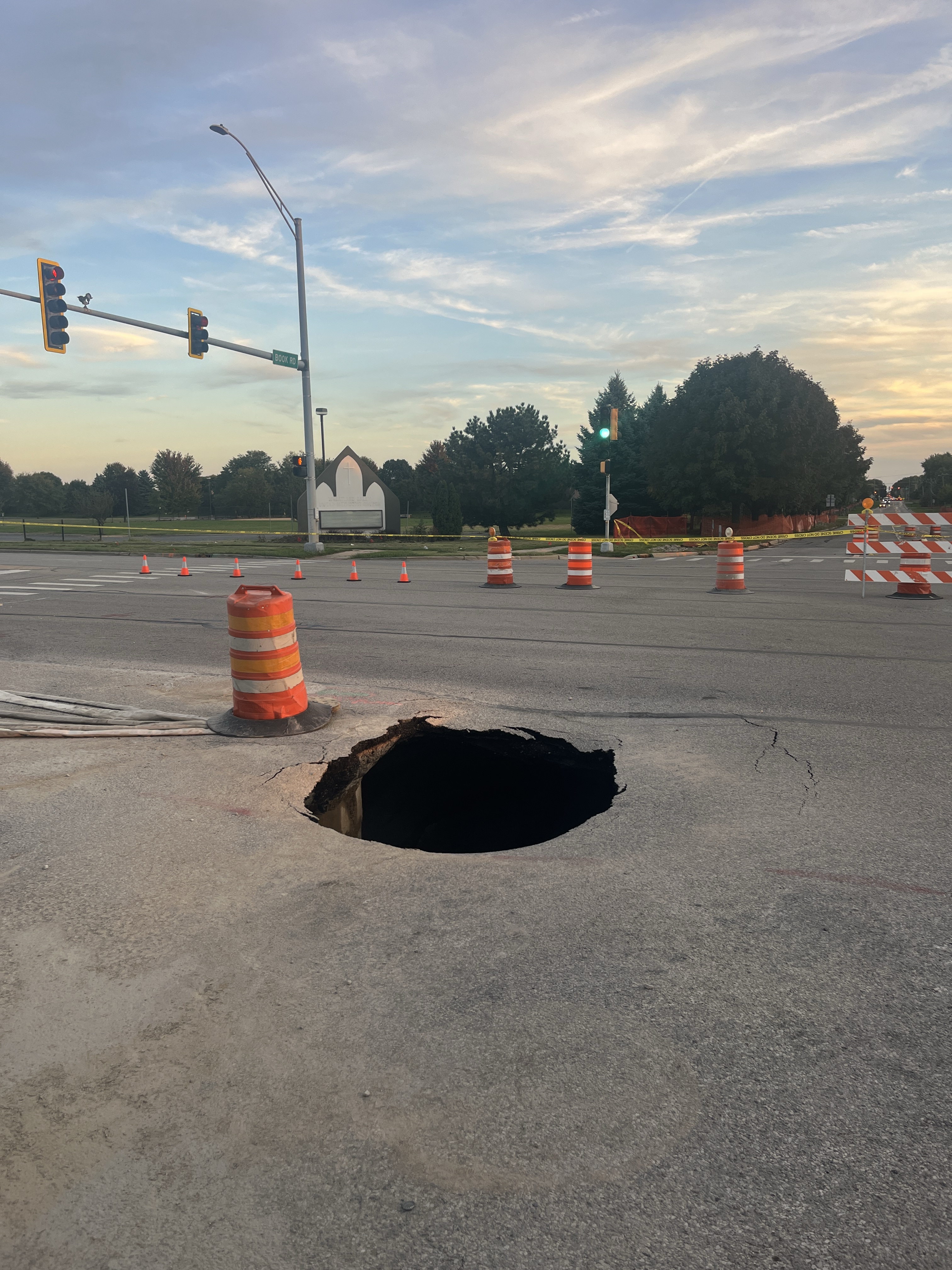
ALT A large, deep sinkhole in the asphalt roadway at the intersection of 95th Street and Book Road. An orange and white striped traffic drum sits adjacent to the edge of the hole. In the background, traffic signals, warning cones, and detour barricades block off lanes beneath an early evening sky.

ALT Detour map for the WaterLink pipeline project showing Roth Road closed near Wolf’s Crossing Road and a partial closure along Roth Road south to Woolley Road, with local traffic maintained. The posted detour follows Wolf’s Crossing Road east to Harvey Road, south to Rance Road, then Stewart Road south to Woolley Road and west back to Roth Road. Detour roads accommodate two-way traffic.

ALT A detour map for the WaterLink project shows a closure on Roth Road in Oswego. The map indicates a full road closure on Roth Road just south of Wolf's Crossing Road, with the rest of Roth Road down to Woolley Road open for local traffic only. The official detour directs through traffic along Wolf's Crossing Road, south on Harvey Road, and west on Woolley Road

ALT A wide-view detour map shows a route that directs traffic from 95th Street south along 248th Avenue, west along 111th Street, and then north along Route 30 and Wolf's Crossing Road to return to the 95th Street area. An inset on the map provides a magnified view of the road closure on 248th Avenue just south of 95th Street. The map includes the WaterLink logo and directs people to waterlinkpipeline.com for updates.

ALT A detour map shows a road closure on a section of 248th Avenue south of 95th Street. The detour route directs traffic west on 95th Street, south on Wolf's Crossing Road, and then back east to reconnect with roads like Olcan Road and Trumpet Avenue. A portion of 248th Avenue is marked as a partial closure for local traffic only. The map includes the WaterLink logo and directs people to waterlinkpipeline.com for more information.