Maps From History (@mapsfromhistory) header
Maps From History (@mapsfromhistory) profile picture

Sharing the most interesting maps from throughout history.

Joined May 2015
Photo by Maps From History (@mapsfromhistory)Photo by Maps From History (@mapsfromhistory)Photo by Maps From History (@mapsfromhistory)Photo by Maps From History (@mapsfromhistory)Photo by Maps From History (@mapsfromhistory)Photo by Maps From History (@mapsfromhistory)Photo by Maps From History (@mapsfromhistory)Photo by Maps From History (@mapsfromhistory)Photo by Maps From History (@mapsfromhistory)Photo by Maps From History (@mapsfromhistory)
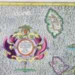
Mercator map of Anglesea in Wales (1595)
2
1
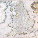
Anglia Regnum by Gerard Mercator (1595)
3
4
Why Egypt's Suez Canal is so important for the world economy (2011)
4
5
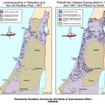
Maps of Palestine's depopulation 1947-1967
1
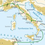
Hannibal invades Italy - 218 BC. He was defeated by Scipio Africanus in 202 BC
4
16th Century maps of the Northern and Southern hemisphere
1
4
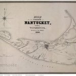
Map of the Island of Nantucket including Tuckernuck by William Mitchell (1836)
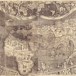
Martin Waldseemuller's map of the world (1507)
2
5
John Norden's map of Hampshire (1605)
Gough Map- First known full map of Britain c.1350
1
A map of Tudor London showing that much of the land south of the Thames had yet to be urbanised
1
2
Israel's 1947 founding and the 1948 Israeli-Arab War
Map of Scandinavia c.1500 - plenty of sea monsters!
1
2
Paris is saved at the German army outmanouvered in the Battle of the Marne - September 1914 #WW1
2
Eagle map of the United States 1833
The U.S. Coast Survey map calculated the number of slaves in each county in the United States in 1860
French Map of the Citadel to Plymouth Dock