

18 | New England Weather Analyst & District 5/15 Scanner Feed Reports
Eastern MA
Joined October 2021
- Tweets5.6K
- Following584
- Followers1.1K
- Likes34.1K
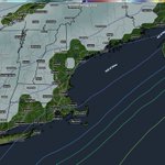

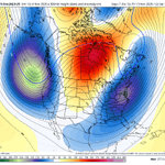
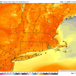

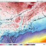

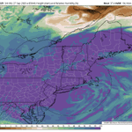


EXCEPTIONAL day out there today, and probably the last day like this until April. A chance some spots hit 80 degrees with the full sunshine and abnormally warm 850mb temps, get outside!!


1
184


Going to feel like late fall/winter with wind chills getting into the upper 30s/low 40s all day tomorrow, and upper 20s Sunday morning!


2
337


AIGFS may be a bit overdone, but shows that eastern MA may also be dealing with the potential for rain-induced flooding/very heavy rain over the coming days. WPC has already issued a SLGT risk across these areas.


3
11
2,708
MarkWx retweeted

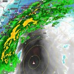
The mid Atlantic is much more complicated as 2 lows become one and tropical moisture gets involved. That said a deep low pressure off the USA east coast (initially anyway, I'm not convinced it couldn't come in) will combine with strong Canadian High Pressure (1030hPa ). We really don't know the exact track or position of low is for the weekend where Friday through Tuesday seem to be the core of this event. Regardless it will contain a cornucopia of hazards, many of them coastal.
@NWSWPC has initiated messaging on this as of yesterday and the hazards can be seen below. (I posted those last night) 00z run of the Euro below for reference.


🇺🇸 Never Forget 🇺🇸
I became deeply intrigued in researching 9/11 when I first learned about it back in fifth grade, for whatever reason. Such a historical day. Check out this dashboard that covers each angle of the event.
youtu.be/NmyxGQ-tz10?si=6h18…

1
2
340