

Northeast Tennessee coverage on short and long range weather, 7-Day forecasts for the Tri-Cities, model discussion, etc. Snow is the best kind of weather.
Joined December 2020
- Tweets28.9K
- Following933
- Followers4.8K
- Likes20.7K





StormTrackerSacher retweeted

As expected, it looks like we are really going to begin to setup in a classic El Niño driven pattern with an active storm track around the southern half of the CONUS. Here is the latest Euro Weeklies run, quite the signal. A very active next few months are ahead.
StormTrackerSacher retweeted

The Polar Vortex stuff could jack-up our preconceived thoughts on mid-November through mid-December.
Here is why
It isn’t like there is bottled up crazy cold temperatures sitting in waiting if we do get a split (so early in the season). Secondly, the question of, is the split going to be favorable for us in the US (the favorability is a huge factor to consider here)?
But let’s say the split occurs and let’s say that it is favorable for us. Then you get an issue with the December temperature anomaly forecasts. Not because something is wrong with physics, we just added another input because the atmosphere is dynamic, not stagnant. The atmosphere isn’t binary (yes or no).
Long story short, if the split occurs and it is favorable to us, December (primarily the first half) will be cooler than forecasted (key word is forecasted). If the split occurs and it is not favorable for us, December will be warmer than even forecasted.
So we wait
StormTrackerSacher retweeted


StormTrackerSacher retweeted

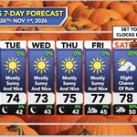
Remember to set your clocks back one hour this Saturday night. It's also a good time to check the batteries in smoke detectors and weather radios.

StormTrackerSacher retweeted
Hi guys
I was tired of missing cool sunsets so I made a bot and website to show sunset quality forecasts.
SkyGrade compares several recent runs of a high resolution weather model to grade every spot's sunrise and sunset from A+ to F, based on how much high cloud there is to catch the color, whether lower clouds block the light, and how much smoke or haze is in the air.


StormTrackerSacher retweeted

🚨 New PolarWx Model Viewer is live 🚨
It's been a while since my PolarWx model page got an upgrade - so today I'm releasing a new model viewer with a fully interactive and customizable layout, many more plots & models, and many new features.
polarwx.com/models/

StormTrackerSacher retweeted

Spring Mill State Park today 🍁
#fallcolors2026 @FoliageReport @ExploreFall @SCweather_wx @indywx @TrackerSacker @stormricker #INwx


StormTrackerSacher retweeted

Projected snow or ice amounts can’t tell the whole story. The Winter Storm Severity Index shows how the winter weather will actually impact your area. The probabilistic version goes even further, showing best and worst case scenarios and the likelihood of each impact level. ❄️🧊

ALT weather.gov/wssi-p
StormTrackerSacher retweeted
Delightful (adj.): Highly pleasing.
The weather this weekend will be absolutely delightful!
Expect clear skies, with highs in the upper 60s to low/mid 70s, and lows in the upper 30s to 40s. Enjoy! See less

StormTrackerSacher retweeted
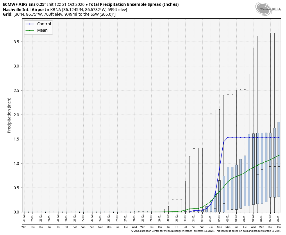
Solid signal across models for rainfall chances to return, perhaps around Halloween but definitely into the first few days of November in Middle Tennessee. Maybe a few severe weather chances as well has our jet begins to amplify.
But enjoy the calm quiet nice weather while it lasts, El Nino late fall/winters are busy, and its just about that time of year again.



StormTrackerSacher retweeted

Elk River Falls this afternoon. @ExploreFall
StormTrackerSacher retweeted

I’m years late but I took these today this is damage from hurricane Helene up on the Scott county side of high knob, miles worth of these downed tree swaths with root balls definitely intense winds came through
@NWSMorristown @TrackerSacker @netnwx @coolkid_028 @ConnerBoyd_WX


StormTrackerSacher retweeted

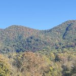
Maggie Valley, NC showing off with the sun hitting those peak fall colors this afternoon! Gorgeous!

StormTrackerSacher retweeted

Ah! Tis' the season! The latest update is showing moderate color now showing up in some of the Tri-Cities. Our peak is usually the latter part of the month. Are you guys seeing fall color where you live?


StormTrackerSacher retweeted

Daily Fall Color Report | Oct. 18, 2026:
A view of the Blue Ridge Parkway near Rough Ridge, where fall colors line the curves of the roadway.
We want to see your fall moments at Grandfather! Share them with us at grandfather.com/fall.
📸: Leslie Restivo


StormTrackerSacher retweeted

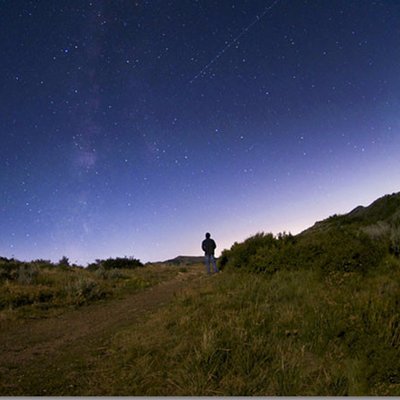
Lots of frost around this morning!
It was the coldest morning at TRI since mid-May.

